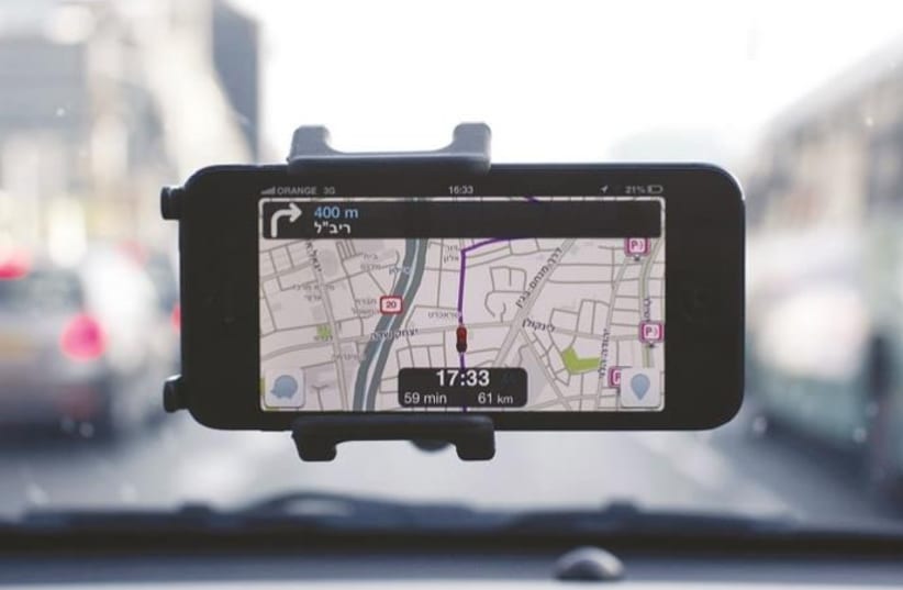
Waze has introduced several new features that will enable drivers to have a safer and more convenient navigation experience. These include alerts for obstacles on the road, changes in travel speed, updates regarding dangerous roads and accident-prone locations, and more.
Thanks to local Waze users, community members, and urban partners, the following features will soon be in use: assistance in navigating through multi-lane traffic circles, alerts for emergency vehicles along the route, notifications of changes in speed limit signs, and more. The new updates join features such as warnings before entering roads with a history of accidents and the display of road obstacles along the route.
Change in the permitted driving speed. The new feature will provide advance warning when a speed limit is expected to decrease along the route, allowing the driver to slow down and safely respond to changing road conditions. This feature will be launched this month worldwide for all Android and iOS users.
Obstacles along the route. In addition to the existing alerts for dangers such as potholes, railroad crossings, and bad weather, there will also be early warnings for sharp turns, dips, speed bumps, and toll booths, intended to add certainty and security for a smoother and safer drive. These alerts will be launched this month worldwide for all Android and iOS users.
Navigating complex traffic circles. Navigating a traffic circle can be confusing, especially in a new area of the city. Today, with the help of the Waze community members, it is possible to clearly discern which lane to choose and where to exit. The new feature will be launched globally this month for Android users, and later this year for iOS users.
Emergency vehicles along the route. The new feature will warn in advance about emergency vehicles, such as ambulances, stopping along the route, in order to enable safe driving along the route and to ensure the safety of the users and the emergency vehicles. Thanks to the information from the Waze for City partners, this update is now available for drivers in the USA, Canada, Mexico, and France on Android and iOS, and will soon be expanded to additional countries.
Useful information on preferred routes. Many drivers stick to a regular route they prefer to places they frequently travel to, such as home or work, even if it's not the fastest option. Starting this month, Waze will display more extensive information on the user's regular routes, including real-time traffic updates and delays along the route, allowing a quick comparison of the preferred routes with alternative routes. This update is being rolled out globally this month on Android and iOS.
Warnings of accident history and dangerous roads. The new feature, which has already been revealed, warns of roads prone to accidents along the travel route. Every day, nearly 3,700 people are killed worldwide in accidents involving cars, buses, motorcycles, bicycles, trucks, or pedestrians, while Waze users around the world report accidents about every two seconds. Thanks to AI and reports from the Waze community, a warning will be displayed for a road segment that is accident-prone based on the characterization of the road segment combined with historical accident data of the road and information about the chosen route, such as the type of road (urban, interurban), road conditions, and typical traffic levels.