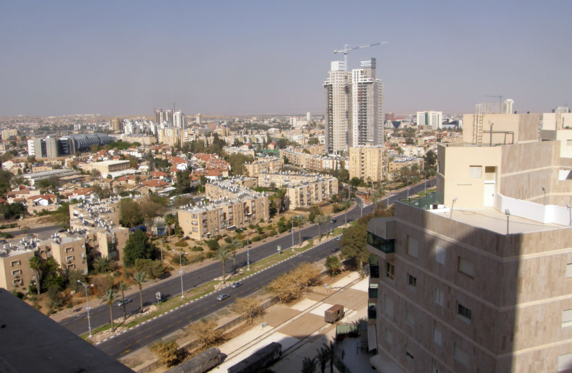
The District Planning and Building Committee — Southern District has announced the approval of the general outline plan for Beersheba.
The plan proposes adding over 34,000 housing units to the Negev city, which will enable the population of the city to double to over 400,000.
In addition to housing, the plan includes some four million additional square meters of office and commercial space, three million square meters of industrial space, 2.7 million square meters for public buildings, and 370,000 square meters for tourism.
The plan's point of departure is that the city is insufficiently densely populated. "Urban Outline Plan 35" set a minimum density of eight housing units per dunam (quarter acre), whereas the current net urban density is 1.5 housing units per dunam.
The large reserves of land within its jurisdiction enable any quantitative development goal to be reached, but the plan proposes strengthening the city's advantage in its environment, that is, the fact that it is a regional capital for many settlements, and the only one of them with urban characteristics.

One of the plan's most important goals is to bridge the disconnections created by the city's modernist planning.
Beersheba is currently made up of a collection of isolated neighborhoods. The plan proposes a continuous network of streets, adapted to the climate, and shaded, with preference given to public transport and pedestrians over private vehicles. The center of the city is described in the plan documents as "the jewel in the crown".
The idea is to boost construction in the area, which already has the municipality, the District Court, the government offices complex, and the transport hub. Rager Boulevard, which for years was the northern route into the city, is described by the plan as the city's main avenue.
The plan proposes changing the profile of the street and turning it from a multi-lane road to an urban avenue, and expanding and renewing the residential areas along it.
The plan was drafted by a team of planners headed by architects Ami Shinar, Miron Cohen, and Lenore Lankin. Work on the plan began in 2013. It was accepted by the District Planning and Building Committee in 2015, the hearing on depositing the plan took place in 2017, and it was published for deposit in 2019.
