

Start the hike by arriving at the junction where Route 77 and Sapir Boulevard meet in Tiberias Illit. This can be reached by taking either the 431 or 430 buses from Haifa or the 830 and 835 from Tel Aviv. The 37 from Tiberias also stops here.
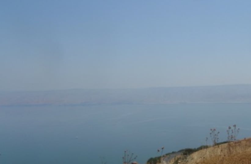
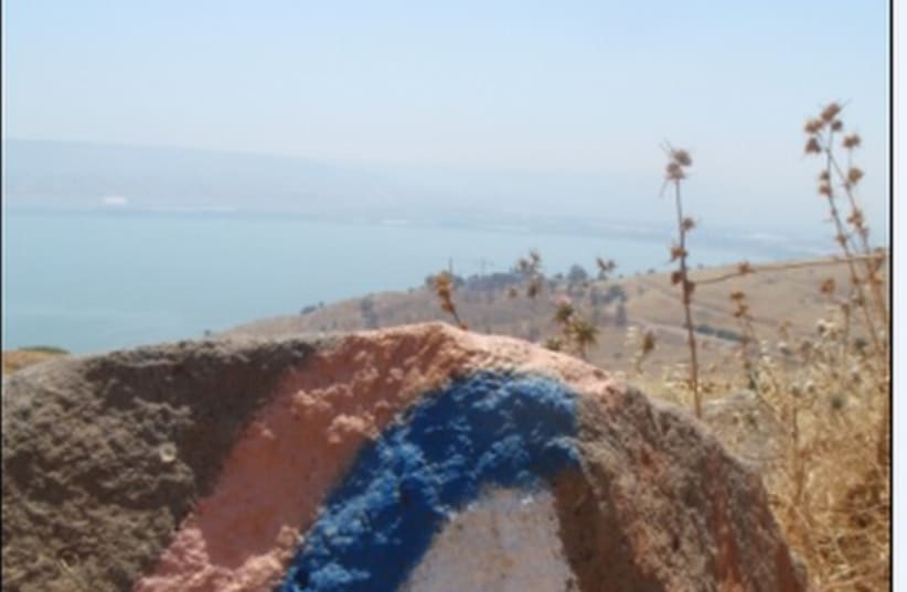
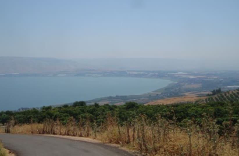
From here, follow the Israel Trail markings, which are white, blue and orange, through the residential neighborhood.Continue winding up this boulevard, making sure to look to the left at the stunning views of the city of Tiberais with the backdrop of the Kinneret.The trail then heads into a forest, which is also a bike path. The markings at this point are rather unclear so make sure to look out for the signs for the bike trail, which are more prevalent than the Israel Trail markings.Follow the path through the forest as it follows the outer line of the Kinneret. From here, the marking are quite straight forward and the path is relatively flat, so just enjoy the views which get better and better.The trail starts to make its way down towards the level of the water once you hit Nahal Shalem. Some of these sections can be rather steep, so take extra care. You will then reach the charming Kinneret Moshav. Continue through the small community and follow the signs all the way to Yardanit, a famous Christian baptist center. From here you can take either 832, 833, or 834 busses towards Tel Aviv or 15, 18, or 26 towards Tiberias.