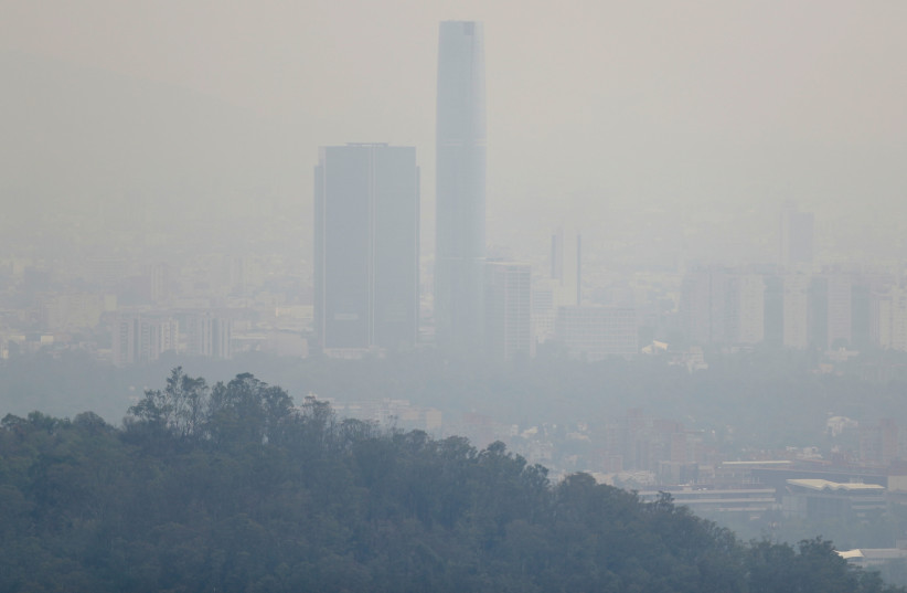
Researchers found that only 0.18% of the global land area and 0.001% of the global population are exposed to levels of PM2.5 - particles in the air that are harmful to people's health. This is below the safety levels recommended by the World Health Organization (WHO).
A peer-reviewed study in the Lancet Planteary Health journal revealed that, while daily levels of PM2.5 have decreased in Europe and North America in the 20 years leading up to 2019, levels increased in Southern Asia, Australia, New Zealand, Latin America and the Caribbean and they were higher than what is considered safe on more than 70% of days globally.
There is a lack of data on PM2.5 exposure on the local, national, regional and global scales due to a global lack of pollution monitoring stations.
However, the researchers, led by Professor Yuming Guo of the Monash University School of Public Health and Preventive Medicine in Melbourne, Australia, published a map showing how PM2.5 levels have changed around the world in past decades.

What data was used to estimate the global surface-level daily PM2.5 concentrations?
The research team used standard air quality monitoring observations, satellite-based meteorological and air pollution detectors and statistical and machine learning processes in order to more accurately determine global PM2.5 levels, Guo said.
“In this study, we used an innovative machine learning approach to integrate multiple meteorological and geological information to estimate the global surface-level daily PM2.5 concentrations at a high spatial resolution of approximately 10km ×10km for global grid cells in 2000-2019, focusing on areas above 15 μg/m³ which is considered the safe limit by WHO (The threshold is still arguable),” he noted.
“In this modeling study, we utilized a DEML [deep ensemble machine learning] framework by integrating ground monitoring measurements of PM2.5, chemical transport model simulations of all-source PM2·5 concentrations, meteorological conditions, and geographical features,” the researchers said in the study. “All data used in the modeling were for the period between Jan 1, 2000, and Dec 31, 2019.”
The team found that yearly PM2.5 concentrations and high-exposure days of PM2.5 decreased in Europe and Northern America over the two decades recorded while they increased in the Caribbean, southern Asia, Australia, New Zealand and Latin America over the same time interval.
The dangerous PM2.5 concentrations also show various seasonal patterns, Guo said, which “included Northeast China and North India during their winter months (December, January, and February), whereas eastern areas in northern America had high PM2.5 in its summer months (June, July, and August)."
Guo expressed hope that changes will be made based on the study results. "It provides a deep understanding of the current state of outdoor air pollution and its impacts on human health. With this information, policymakers, public health officials, and researchers can better assess the short-term and long-term health effects of air pollution and develop air pollution mitigation strategies."
The Environment and Climate Change portal is produced in cooperation with the Goldman Sonnenfeldt School of Sustainability and Climate Change at Ben-Gurion University of the Negev. The Jerusalem Post maintains all editorial decisions related to the content.
