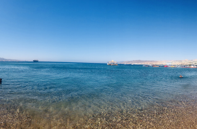
The Red Sea is logically recognized as a sea. But Saudi Arabian geologists now insist it is a fully developed ocean and can be viewed as a “younger and smaller version” of the Atlantic.
Geologists have long argued about the structure of the Red Sea. Many view it as an extended rift basin where two continental plates are actively moving apart, while others see it as a fully developed ocean with a mid-ocean ridge and seafloor spreading.
Integrating a variety of geo-scientific data, researchers at King Abdullah University of Science and Technology (KAUST) have shown that most of it is underlain by oceanic crust. They published their findings in the journal Tectonophysics under the title “Structure and morphology of the Red Sea, from the mid-ocean ridge to the ocean-continent boundary.”
How is the Red Sea an ocean?
“There are two types of crust on the Earth’s surface – ancient continental crust that forms the land masses and younger oceanic crust under the oceans,” said Antoine Delaunay, a post-doctoral student in the lab of energy resources and petroleum engineering Prof. Abdulkader Afifi. “These two types of crust differ in age, thickness, physical properties and chemical composition, making it possible to differentiate between them using geophysical measurements.”
The Arabian Peninsula initially separated from Africa with the formation of a rift basin. As the two continents drifted apart, water filled the rift basin, and submarine volcanism created new oceanic crust between the continental plates in a process known as seafloor spreading. The research team mapped this transition from a rift, which started around 29 million years ago, to the start of seafloor spreading at around 14 million years ago, they said.

They said the Red Sea and Gulf of Aden are “young oceans” formed by rifting and seafloor spreading that resulted from the northward drift of the Arabian Plate relative to the Nubian and Somalian plates. Spreading rates increase from 13 to 18 mm. per year along the Gulf of Aden and decrease northward along the Red Sea from 16 to 10 mm. per year.
Most of the Red Sea is now covered by sedimentary rocks that hide the nature of the underlying crust. Previous studies assumed that these rocks were static, remaining in the same location as they were deposited. “We interpreted a wide variety of data to show that these sediments have spread out across the oceanic crust over time, gliding over a mobile layer of salt,” Afifi explained.
“Our interpretation shows the depth and extent of the oceanic basement under this sedimentary blanket,” Delaunay said. The researchers were also able to show how the mid-ocean ridge segments, various fault structures and ocean-continent boundaries were constrained by the laws of tectonic plate motion on a sphere.
“This was something that previous work failed to realize,” concluded Delaunay. “Our mapping demonstrates that approximately two-thirds of the Red Sea is currently underlain by oceanic crust.”
“Our mapping demonstrates that approximately two-thirds of the Red Sea is currently underlain by oceanic crust.”
Antoine Delaunay
The KAUST research team continues to investigate other aspects of Red Sea geology, particularly the dynamics of ancient reef platforms and salt flows on the seafloor. They have also uncovered evidence of desiccation (drying up) of the entire Red Sea during the Messinian salinity crisis, which dehydrated up the Mediterranean Sea between 5.9 and 5.3 million years ago.
